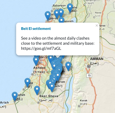
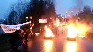
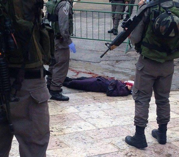
Stop the Wall has prepared an interactive map of the locations of struggle of the current protests and mobilisation. The map will continue to be updated and expanded and shows examples of mobilisation and repression, photos, videos and local accounts.
To read a short analyis, click below.
Click here to access the map.
A short analysis of the mapping shows the extent of the mobilisations all across historic Palestine. It visualizes, however, as well the level of Bantustanization already existing: the large majority of the protests are located within or at the margins of the 12 percent of historic Palestine that is according to Israeli plans allocated for Palestinian self-administration within a de facto ghetto framework.
It highlights the underlying reasons for the current uprising: almost all locations of struggle are located in villages directly affected by the Wall and ongoing settlement expansion, the main checkpoints and settler roads across the West Bank are targeted and the inner cities suffering Israeli drives of ethnic cleansing, such as Jerusalem, Hebron and Jaffa, are key areas of confrontation.
The map contains stories of daily collective resistance, from the gatherings of Palestinian youth in front of Damascus Gate – because existence is resistance – or the initiative of the people of
Silwad that organised a bulldozer to simply pave away the roadblocks set up by Israeli forces. A collective action to overcome collective punishment.
The local, self-organised leadership of the youth in the protests across the West Bank is inspiring – yet another generation of Palestinian struggle is ready to confront Israeli occupation and apartheid. Finally, the powerful mobilisation of the youth from the refugee camps ensures that the basic aspiration of the Palestinian people to end ethnic cleansing and ensure the right of return for the refugees cannot be forgotten within any uprising.


